Backpacking, Hiking & Winter Tent Camping with Snow in Pennsylvania’s Hammersley Wild Area.
FTC Disclosure: This post contains affiliate links, which means I may receive a commission for purchases made through some of my links.
For this early December backpacking trip, I set out to hike a 3 day, 20ish mile loop in the mountains of north central Pennsylvania. I created my loop by using a portion of the Susquehannock Trail System, some off-trail bushwhacking, and a ridge hike along the adjacent Twin Sisters Trail.
My weather conditions were forecasted to have some fresh snow, temps mostly in the 20’s and a potential for freezing rain as the temps rose further into the trip. While this was a pretty wide range of possible conditions, it also wasn’t terribly cold, so I was still able to pack somewhat ultralight and minimal. My camping target for day one was down in the hollow along the banks of Hammersley Fork. On day two I planned to head up to the ridge and camp in the area devoid of trees due to a forest fire back in 1962. Due to the potential lack of trees, I swapped out my typical hammock setup for a single person tent and sleeping pad to keep my campsite options flexible.
The Hammersley Wild Area is the most remote swath of public land in Pennsylvania, with some spots over 5 miles from the nearest road, which combined with the season, I hoped would make for some rather secluded camping. Conversely, this area is also a haven for public hunting, so I made sure to wear some blaze orange and remain somewhat quiet and on the trail until I got further away from any road access, as it was the middle of PA deer hunting season.
This trip video was sponsored by Dr Prepare. You can get 10% off their 178Wh Portable Power Station by using code STDP10 with this link.
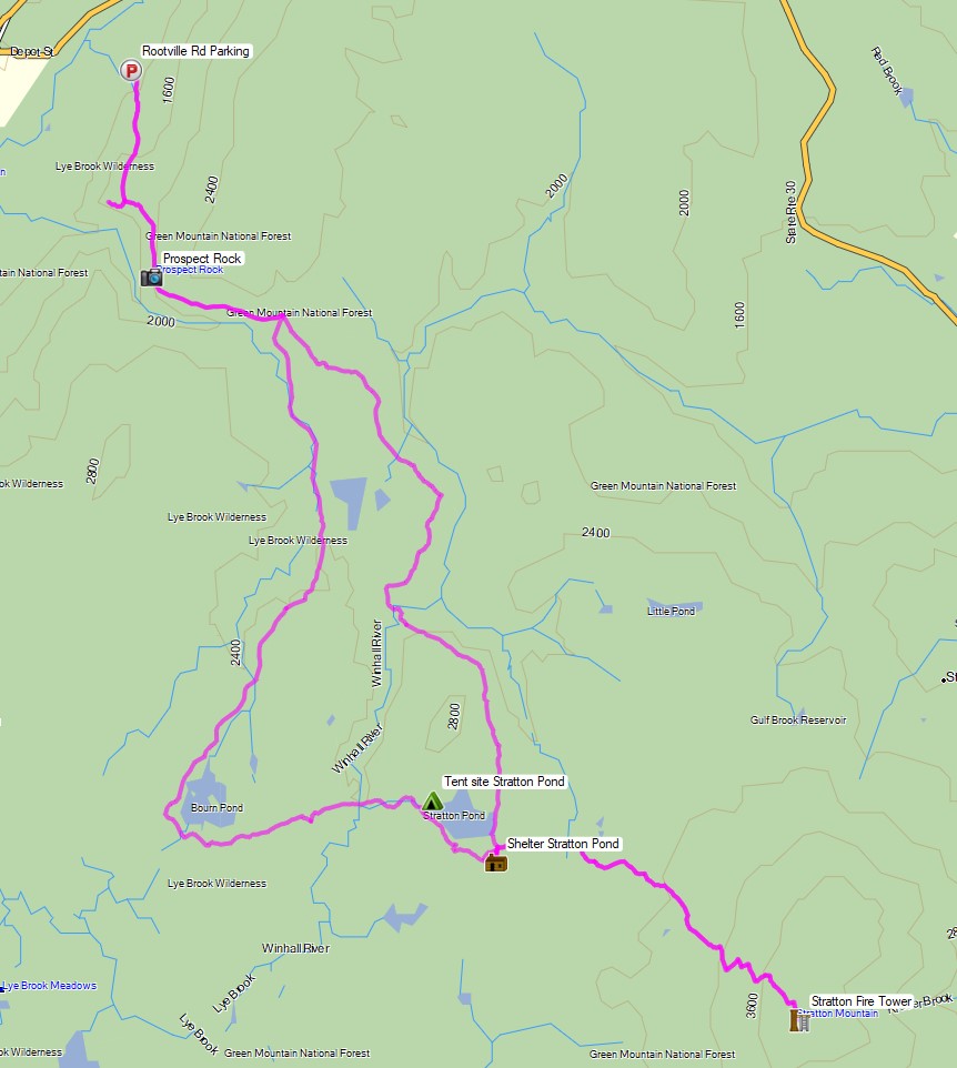
Route Overview – Stratton Pond Vermont Backpacking Loop – Sintax77
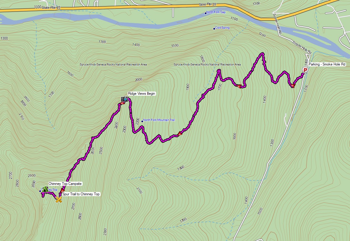
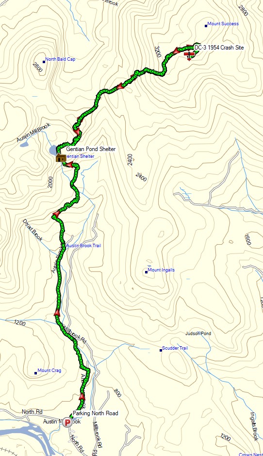
Full GPS track data, including campsites, etc, for this trip and many others can be downloaded on my Trip Data Page.