
Three days of Winter Hammock Camping and backpacking in the Adirondacks High Peaks Region.
GPS track data for the full trip was recorded using my new Garmin 650 gps unit, and can be found on the Trip Data page, for download in GPX format. (All photos in this post are geo-tagged as well)
Parking Location: At the end of Upperworks Road 44°05’20.6″N 74°03’22.7″W
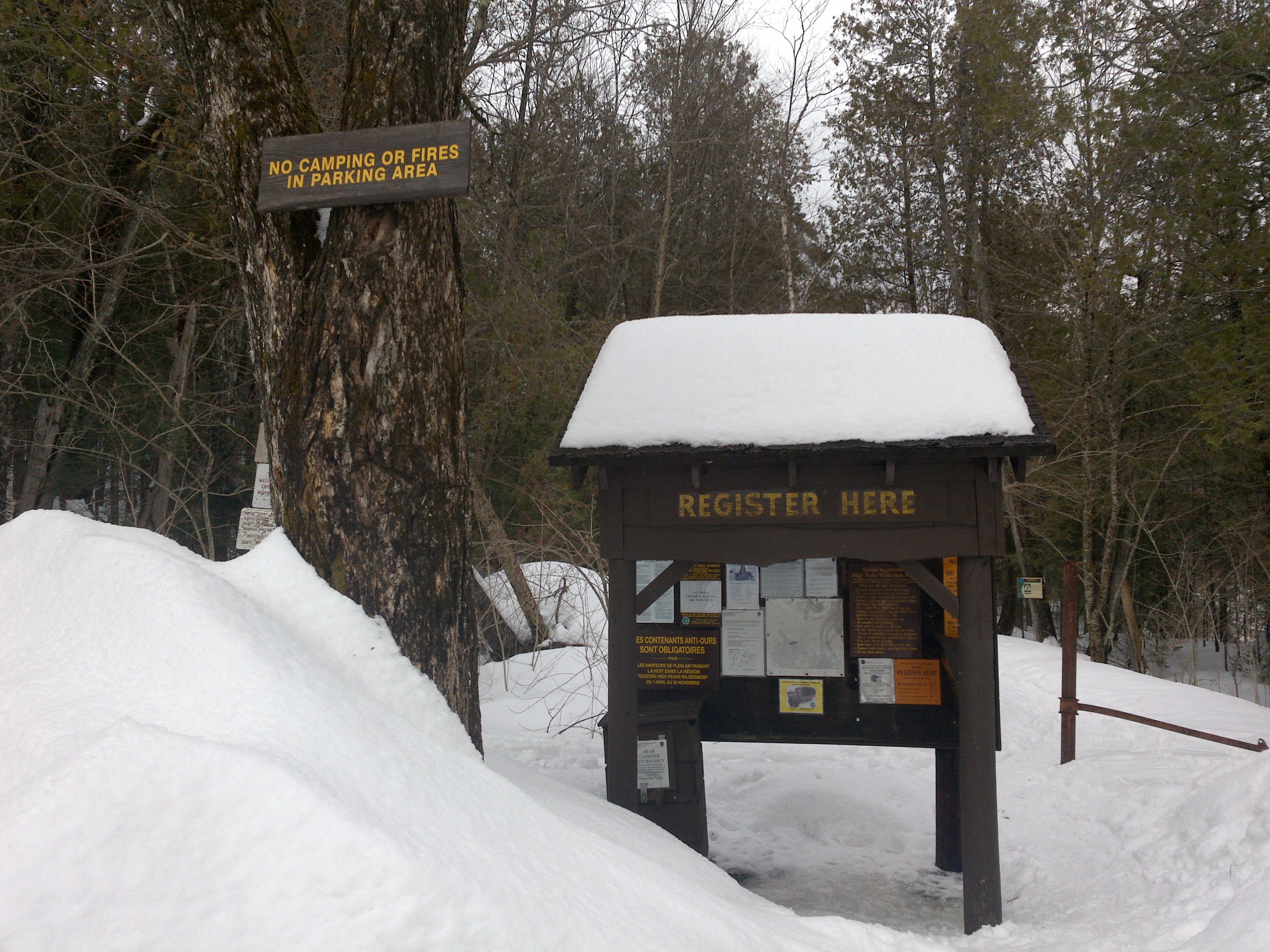
The Upperworks Trailhead Parking Area
Trails Used in Order:
Day 1 (Hike In)
- Begin at Upperworks Trailhead
- Calamity Brook Trail
- Cross frozen Lake Colden towards the Ranger Station
- (If lake is not frozen, the Algonquin Peak Trail can be taken instead)
- Take Avalanche Pass Trail to visit Avalanche Lake
- Reverse course on Avalanche Pass Trail back towards Lake Colden
- Camp near intersection of Ranger Station Spur Trail and Cold Brook Trail
Campsite coordinates N44 07.494 W73 58.912
Mileage Total: 9.16 miles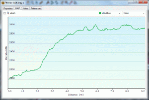
Elevation Profile for Day 1
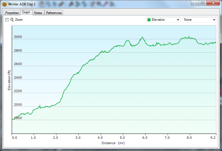
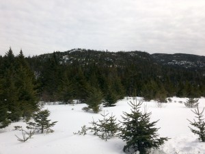
Day 2 (Above Treeline Excursion)
- Avalanche Pass Trail
- Algonquin Trail via Lake Colden
- Enjoy the views (or summit fog) and head back down towards campsite
Mileage Total: 4.16 miles
Elevation Profile for Day 2 (Ouch)
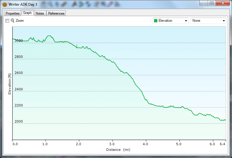
Day 3 (Hike Out)
- Head out across frozen Lake Colden back towards car
- Calamity Brook Trail
- End back at Upperworks Trailhead
Mileage Total: 6.38 miles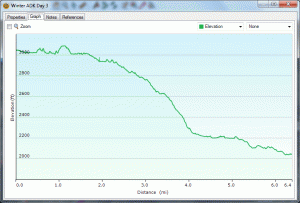
Elevation Profile for Day 3
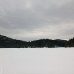
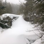
Returning to the Upperworks Parking area, via Calamity Brook Trail
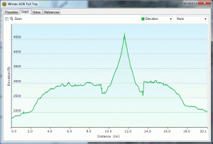
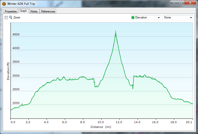
Mileage & Elevation Profile for Full 3 Day Trip
For a look at my winter gear, check out my Winter Gear List Video. Notable changes: Hammock instead of Kelty Salida 2 Tent, MSR Rapidfire Stove instead of generic upright canister stove, and I picked up another pair of fleece lined hiking pants as an alternative to the backup sleeping pants I used to pack.
-
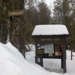
- The Upperworks Trailhead Parking Area
-
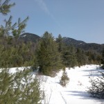
- Hiking in from the Upperworks Trailhead
-
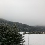
- View of Calamity Pond
-
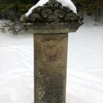
- Memorial marker for David Henderson at Calamity Pond
-
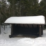
- One of several Lean-to’s in the Lake Colden area
-
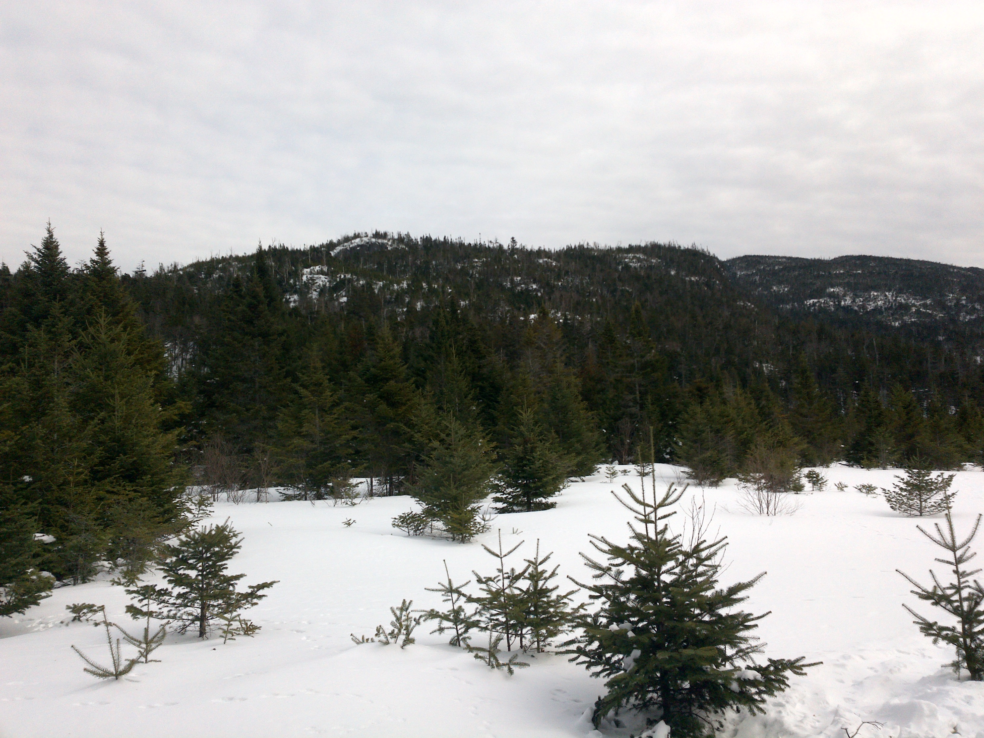
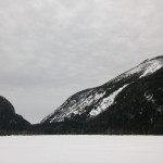
- Heading across Lake Colden towards the MacIntyre Range
-
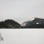
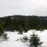
- View from atop the frozen Lake Colden (Mount Colden to the Left)
-
- Another view from atop the frozen Lake Colden (Mount Colden to the Left)
-
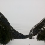
- View seen while standing on frozen Avalanche Lake.
-
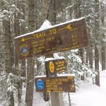
- Trail Junction near Campsite that was chosen.
-
- Fog on the Algonquin Trail
-
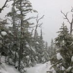
- Ice flow along the upper portion of the Algonquin Trail
-
- Returning to the Upperworks Parking area, via Calamity Brook Trail
All video content, photos and music are original works by myself, Sintax77.
Okay, I will bite on your end of video teases (of the several I watched) …where did you find a good burger on this trip on your way out to I-87 Northway?
Interesing.
I thought is not can sleep in hammock winter. Useful video.
Thx
HikingTours
If you want a good burger you have to go to the Black Bear in pottersville.where you get back on I-87 if you are going south. If you are going North on I-87 your screwed for food for a very long ways.
Thanks for the follow up. Think I might have heard of it. Sometimes I have 2-4 teenagers w me and then the only sane $$$ thing to do is go to MickeyD’s.
Im planning on hiking Mt Greylock, easy hike any suggestions? I love your vidieos, very informative, you ever gonna do the A.T.?