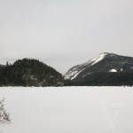
Join Sara and I for 3 days of Hiking & Hammock Camping on a Backpacking Trip in the Adirondack’s Dix Mountain Wilderness.
For this backpacking adventure, I’ll be breaking the hiking trip into two parts. Part 1 covers our hike in to camp, setting up our base camp with our two person hammock camping system, and some campfire chat while we make a campfire, do camp chores, and cook some backpacking food.
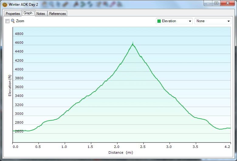
Hiking the Dix Range Part 2 will be comprised of mostly hiking and summits, as we ascend from camp up onto the Dix Range to hit the Beckhorn (a subsidiary peak of Dix Mountain) and the summit of Dix Mountain itself.
GPS Data for this trip is available on the Trip Data Page or by clicking this link for direct download: Adirondacks Dix Range Backpacking Trip 2017 – Sintax77
Trailhead and Parking Location
Elk Lake Trailhead Parking Lot, 675 Elk Lake Rd, North Hudson, NY 12855
44°01’15.0″N 73°49’40.9″W
Topics discussed and things that happen in this episode
- Base camping with a ton of camping gear vs ultralight backpacking.
- Finding & legal camping spots in the Adirondacks.
- Pros and cons of using a bear canister. These are not legally required in the Dix Mountain Wilderness, but we had one anyway, for reasons discussed in the video.
- Hammock camping with our dog, Denali.
- Outfitting our Dutchware Chameleon Hammocks with the Double Dutch Bugnet system.
- Hammock under quilt attachment using of Chameleon hammock’s underquilt hooks.
- A look at the MalloMe Camping Cookware Set for backpacking food preparation.
- Building a campfire and cooking some of of favorite backpacking appetizers and dinners.
- Sara reviews a flashlight…
Trails Used Day 1
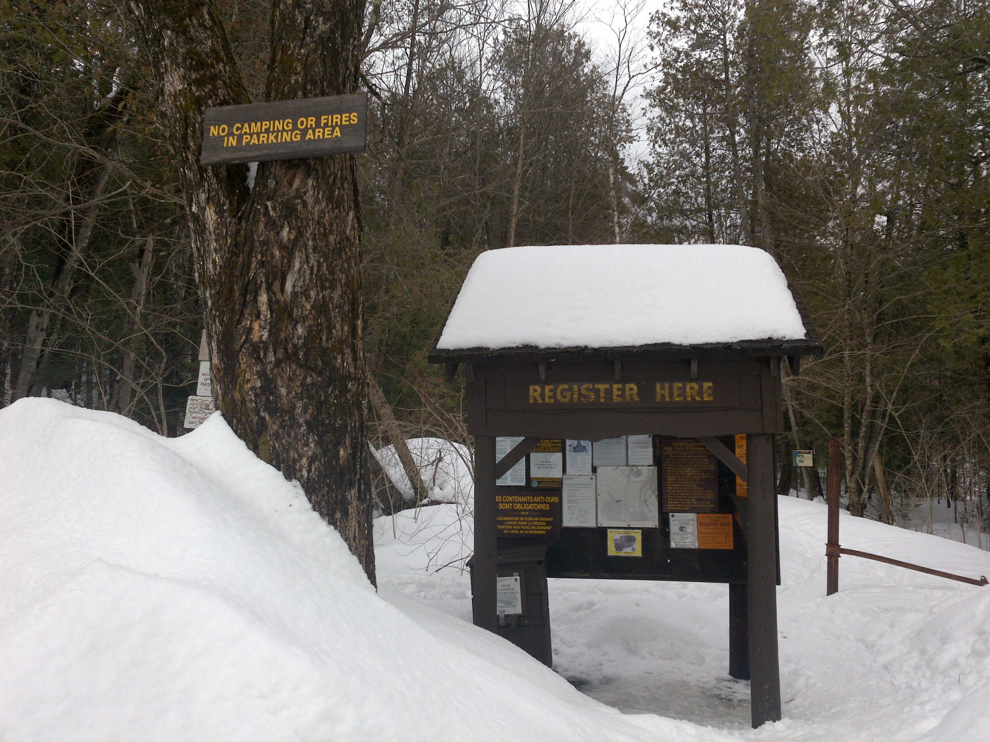
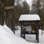
- Parked at Elk Lake Trailhead Parking Lot. This is a decent sized lot along a gravel road on the way to the Elk Lake Lodge. If the lot is full, you may park for free at the Elk Lake Lodge, a bit further up the road.
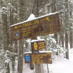
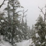
- Elk Lake to Dix Mountain Trail
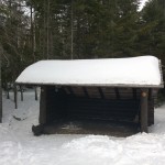
- Pass the Slide Brook Lean-to . The Slide Brook LT and camping area makes for a popular base camp for hikers hitting the Dix Range. We chose to push on a bit (under 2 miles) to the lesser used Lillian Brook lean-to area, which as some nice, legal campsites that are a bit more secluded.
- Pass the sign for Lillian Brook LT and continue a bit further.
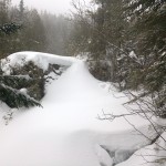
- Setup camp along the Elk Lake Trail, after the Lillian Brook LT and just before the large bridge crossing Lillian Brook. As of 9/14/17, this site had a yellow “Camp Here” disc, designating it a fully legal spot, despite it’s proximity to a small stream nearby. The stream is probably a convenient water source when flowing good, but we opted to get our water a 100 meters or so down the trail by the Lilian Brook bridge.
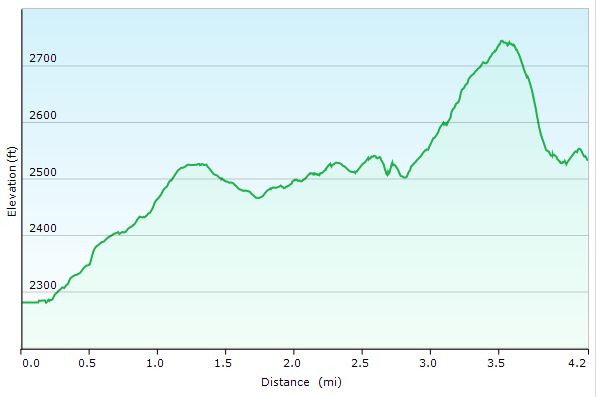
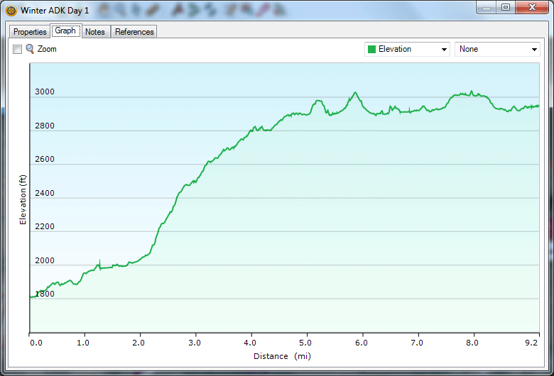
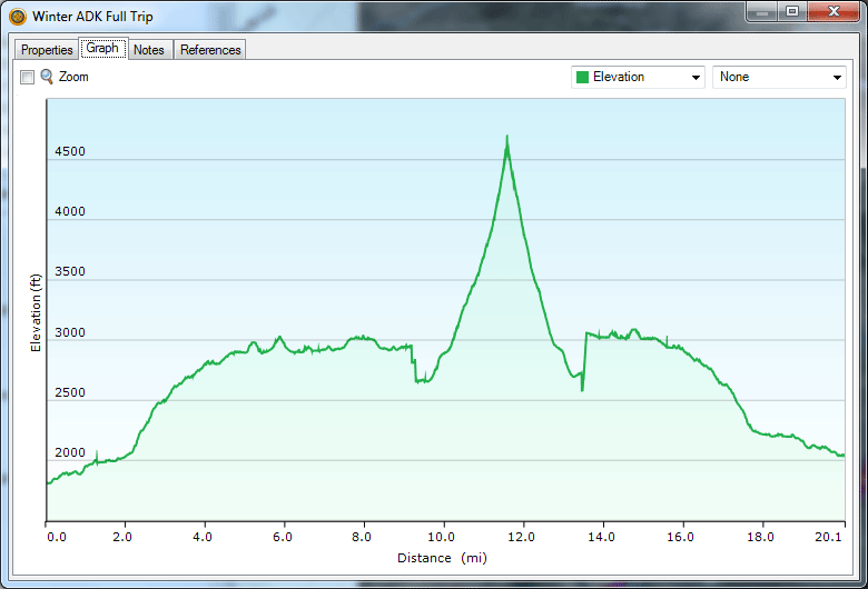
Dix Range Adirondacks Day 1 Elevation Profile – Sintax77
Day 1 Total Mileage: 4 miles
Day 1 Gross Elevation Gain: 633 feet
Day 1 Gross Elevation Loss: 339 feet
Notable Camping / Backpacking Gear Seen on this Video
- Dutchware Double Dutch Bugnet
(used on night 1) - Dutchware Bird’s Nest (used on night 2)
- Dutchware Chameleon Hammock System
- Dyneem Straps with Beetle Buckles
- Dutchware Spreader Bar Pole (32″ recommended)
- ULA Ohm 2.0 Backpack (we both use this model)
- Bear Vault BV500
Bear Canister
- Coleman Folding Saw
- MallowMe Camping Cookware Mess Kit
- Vargo Windscreen
- Katadyn BeFree Water Filter
- Sintax77’s Headlamp – Olight HS2 Headlamp
- Sintax77’s EDC Flashlight – FourSevens Preon 2
- Sara’s Headlamp – Fenix HL-23 Headlamp (she’s since stolen my HS2 for the longer battery life, though)
- Sara’s Ridiculously over the top Flashlight – Olight Marauder X7R
Our Dog’s Backpacking Gear
- Denali’s Dog Backpack – “One Tigris Cotton Canvas“
- Hammock – 2T’s Hammock Chair
Backpacking Food
- Packit Gourmet Queso-Rico Queso Dip
- Packit Gourmet Pasta Bolegnese (Market Pasta Puttanesca w/beef)
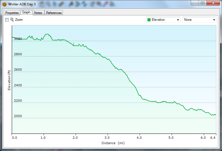
Stay tuned for Hiking the Dix Range Part Two where we depart camp and head for ridge.