3 Days of Camping and Backpacking on Echo Lake in the Catskill Mountains.
FTC Disclosure: This post contains affiliate links, which means I may receive a commission for purchases made through some of my links.
For this backpacking trip, we headed up to New York’s Catskill Mountains for 3 days of campfire cooking, mountaintop abandoned hotel exploration and lakeside camping with crew consisting of a wide range of experience levels – all the way from 10 years to a very first backpacking trip.
Our Late Fall temperature range for this trip was between 35° and 70° without a chance of rain until the latter half of the trip. With the possibility of rain on our last day hike out, and the addition of some fun comfort items like a stool, firewood saw and some other surprise goodies, my base weight was a little over my typical sub-10lb base weight for this particular trip.
Mike and I went with hammock camping setups for this backpacking trip, while Mike’s son and his friend decided to share a Nemo 3 person tent. Our plan was to do our 3 day trip basecamp style by snagging a decent campsite alongside Echo lake and remaining there for both nights. This would allow us to do a day hike up towards Indian Head Mountain on the ridge lighter daypacks. This also gave us the advantage of returning to a campsite that was already setup if our hike back ended up taking longer than expected.
Water would be plentiful at basecamp due to the nearby lake, but their is beaver activity in the area, so water filtration and / or treatment is strongly encouraged. There is also a stream that feeds the pond not to far from where the spur trail for the Echo Lake Shelter begins. Our chosen campsite was on the opposite side of the lake, so went the filtration route with my Katadyn BeFree water filer system.
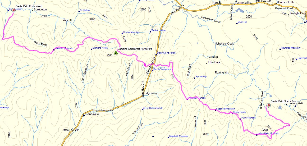
Full GPS track data, including campsites, etc, for this trip Sintax77 and many others can be downloaded on my Trip Data Page.