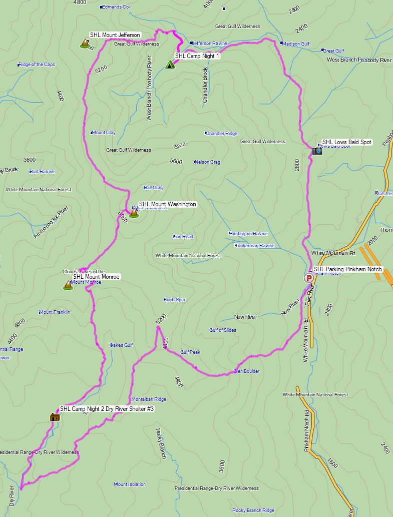
3 Days of Ultralight Backpacking & Hammock Camping on the Carter-Moriah Range in the White Mountains of New Hampshire.
FTC Disclosure: This post contains affiliate links, which means I may receive a commission for purchases made through some of my links.
For this summer backpacking trip, I headed up to the Wild River Wilderness to create a 36 mile hiking loop with 10,000 feet of gross elevation gain by linking together the Appalachian trail with several other lesser used and more rugged trails in the White Mountain National Forest.
My June temperature range for this trip was between 35° and 85° with a chance of rain each day, but mostly during the night. Due to the wide temp range and the unpredictable weather typically encountered in the White Mountains, I packed in a puffy jacket and some ultralight rain gear for additional protection against the elements. This brought my pack’s base weight right up to around the 10 lb mark.
- Thank you to Upstart for sponsoring this trip. See how they can help you build your credit and get free of high interest debt at Upstart.com/Sintax
I went with my standard minimalist hammock camping setup for this trip. While I planned to stay at officially recognized campsites, I still wanted the ability to camp at a legal, but unofficial spot if the opportunity or need arose. Due to the dense vegetation and uneven ground found at upper elevations in the Whites, I’ve learned that a hammock is often the only realistic option in those types of conditions.
Water would be plentiful along the river portion of my loop, but would only be reliably available at Imp campsite during the ridge hike section, so I had to plan accordingly for that during the first half of my trip. The second half of my trip would have more water, but would be on more challenging trails. Notably, the Black Angel Trail, a rugged and minimally maintained wilderness trail, and the Highwater Trail, which suffered substantial washouts and haphazard re-routes due to storm damage from Hurricane Irene back in 2011.
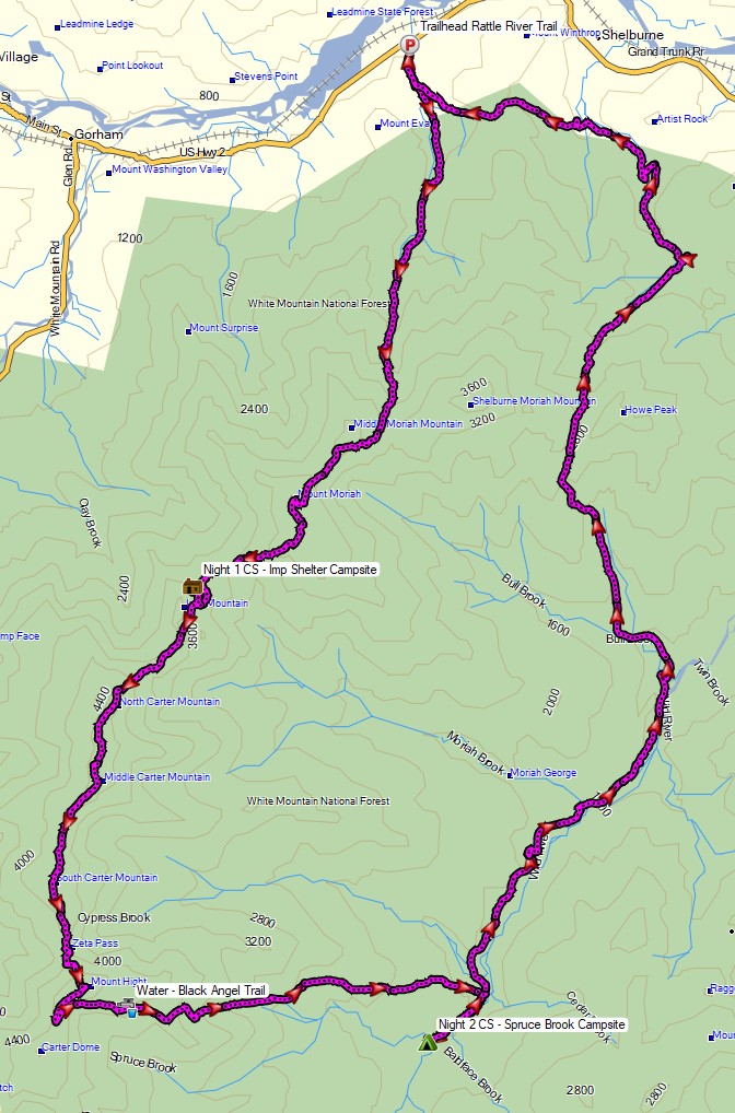
Route Overview – WIld River Carter-Moriah Backpacking Loop – Sintax77
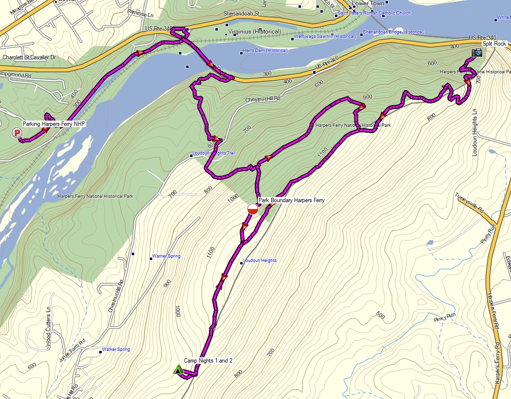
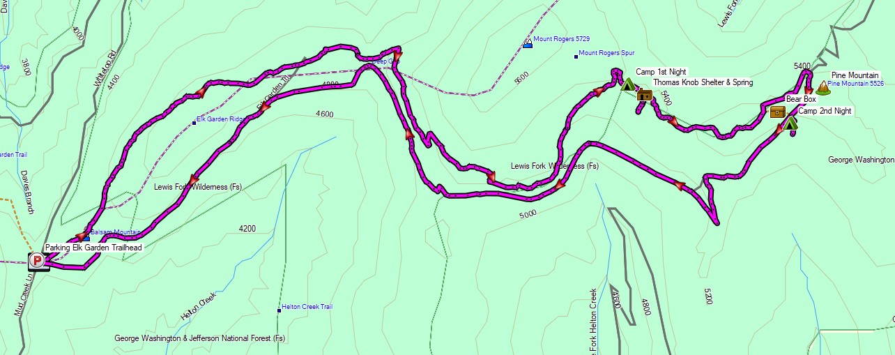
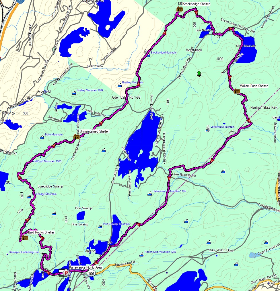
Full GPS track data, including campsites, etc, for this trip and many others can be downloaded on my Trip Data Page.